Indexation hiérarchique des adresses
Visualisation
Publié le 25 juillet 2016 par Administration du cadastre et de la topographie

Ceci est une expérience dégradée de Portail Open Data. Veuillez activer JavaScript et utiliser un navigateur à jour.
Rechercher parmi les 192 réutilisations sur Portail Open Data
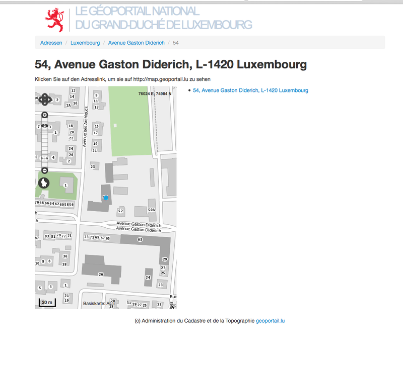
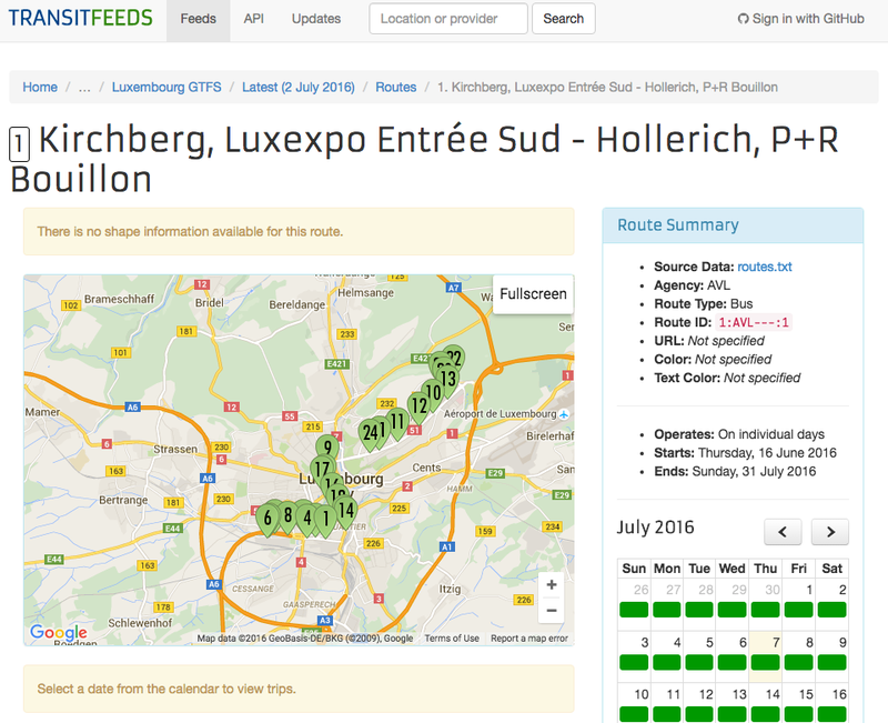
Visualisation
Publié le 25 juillet 2016 par Administration du cadastre et de la topographie
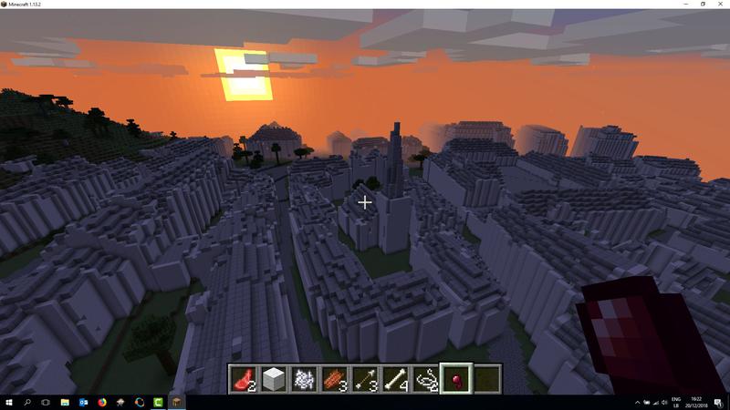
Visualisation
Publié le 20 décembre 2018 par Géoportail

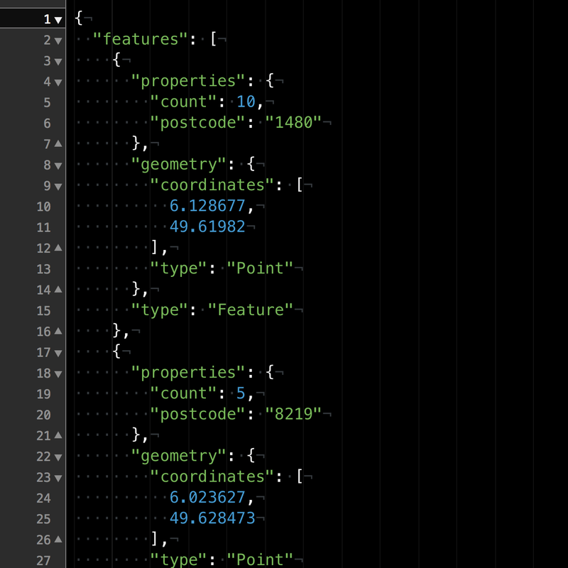
API
Publié le 11 juillet 2016 par Guillaume Rischard
Papier
Publié le 23 janvier 2026 par Musée national d'histoire naturelle Luxembourg


Visualisation
Publié le 11 août 2025 par Luxembourg Emergency Communications Intervention Team


Application
Publié le 10 août 2025 par Luxembourg Amateur Radio Union


Visualisation
Publié le 9 février 2024 par Open Data Lëtzebuerg
Article de blog
Publié le 26 janvier 2024 par Service information et presse du gouvernement
Visualisation
Publié le 23 janvier 2024 par STATEC Institut national de la statistique et des études économiques du Grand-Duché de Luxembourg

Article de presse
Publié le 23 janvier 2024 par Open Data Lëtzebuerg

Article de presse
Publié le 23 janvier 2024 par Open Data Lëtzebuerg