Géoportail
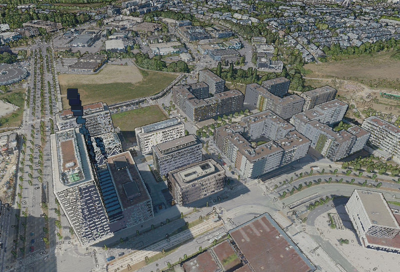
le Géoportail National du Grand-Duché de Luxembourg est la plate-forme nationale officielle des données et informations géographiques.
-
INSPIRE - Annex II Theme OrthoImagery - Ortho 2018
Description copied from here Inspire version of the 2018 Infrared and RGB Orthophoto of the ACT. This image has been reprojected to EPSG:3035 The pixel size is 20cm. Description… -
Webservice WMS et WMTS des arrêts de bus
Le service WMS et WMTS du géoportail fournit un layer contenant l'emplacement de tous les arrêts de bus. Ces données sont mises à jour tous les jours. -
INSPIRE - Annex III Theme Statistical Units - Area Statistical Unit
This dataset contains the Statistical Units of the Grand-Duchy of Luxembourg. It represent the municipalities with a LAU2 code. The dataset is structured according to the INSPIRE… -
INSPIRE - Annex II Theme Elevation - SpotElevation
This dataset contains Elevation height points of the Grand-Duchy of Luxembourg. It has been harmonized according to INSPIRE. Description copied from here. -
INSPIRE - Annex III Theme Environmental Monitoring Facilities - EnvironmentalMonitoringFacility_age_gauging_stations
Gauging stations (WFD) - Measuring points in relation to the Water Framework directive (WFD), established by the European union and having water protection and management for… -
INSPIRE - Annex III Theme Environmental Monitoring Facilities - EnvironmentalMonitoringFacility_MonitoringSite_LU_20170516
This dataset was reported by the Grand Duchy of Luxembourg under the following obligation: "Water Framework Directive - River Basin Management Plans - 2016 Reporting". For… -
INSPIRE - Annex III Theme Environmental Monitoring Facilities - EnvironmentalMonitoringFacility_age_gauging_stations_surface_water
Gauging stations (WFD) of surface water Description copied from here. -
INSPIRE - Annex III Theme Environmental Monitoring Facilities - EnvironmentalMonitoringFacility_age_precipitation_measurement
Precipitation measurement facilities Description copied from here. -
INSPIRE - Annex III Theme Environmental Monitoring Facilities - EnvironmentalMonitoringFacility_age_quality_of_bathing_water
The bathing waters are monitored according to the Bathing Water Directive 2006/7/CE. During the season, the parameters of Escherichia coli and intestinal enterococci are… -
INSPIRE - Annex III Theme Environmental Monitoring Facilities - EnvironmentalMonitoringFacility_NiD_NiD_GW_Stat
This dataset was reported by the Grand Duchy of Luxembourg under the Urban Waste Water Treatment Directive. Under article 15, discharges from urban waste water treatment plants…
-
Carte des renards testés sur echinococcus multilocularis 2016
Carte des nombres de renards testés sur echinococcus multilocularis 2016. -
Population ayant une activité professionnelle selon la commune de résidence et de travail...
Les présentes cartes sont réalisées à partir des données fournies par le Statec dans le cadre d’une collaboration qui vise une représentation cartographique des données… -
Carte des renards testés sur echinococcus multilocularis 2012-2015
Carte des renards testés sur echinococcus multilocularis 2012-2015 -
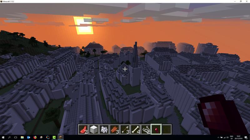
Scène Minecraft du centre de Diekirch issue des données LIDAR
L'équipe du géoportail a préparé une maquette Minecraft du centre de Diekirch. Cette scène a été construite à l'aide des données issues du prototype LIDAR, c'est à dire le nuage…