-
Freeride
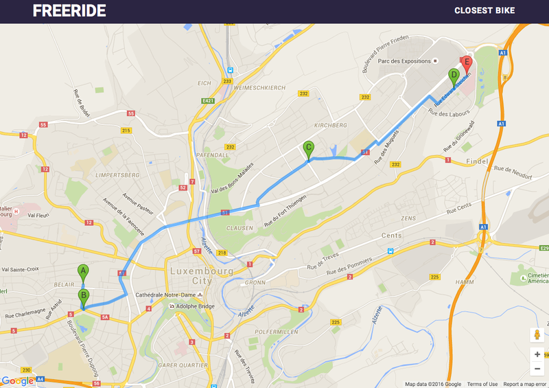
Ceci est la contribution du team Rekt au Hackathon Smart Mobility du 8-9 Avril 2016. Lien vers le code source.L'app vous permet de planifier un trajet par Veloh, sans dépasser la période de 30 minutes ou la location Veloh est gratuite. Si le trajet nécessite plus de 30 minutes, alors l'app trouve… -
1313
Journey planner as alternative for mobiliteit.lu. Translated in multiple languages. -
openOV GTFS
GTFS conversion for HAFAS data and API's. -
GeoJSON centroid for each postcode in Luxembourg
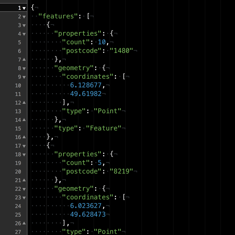
Python program that downloads the latest addresses geojson using the data.public.lu API, and returns GeoJSON centroids for each postcode in Luxembourg. A sample centroids.geojson.xz (from 2016-07-11) is included. Downloads the latest addresses geojson Average the position of all postcodes Spit out… -
LuxLocator
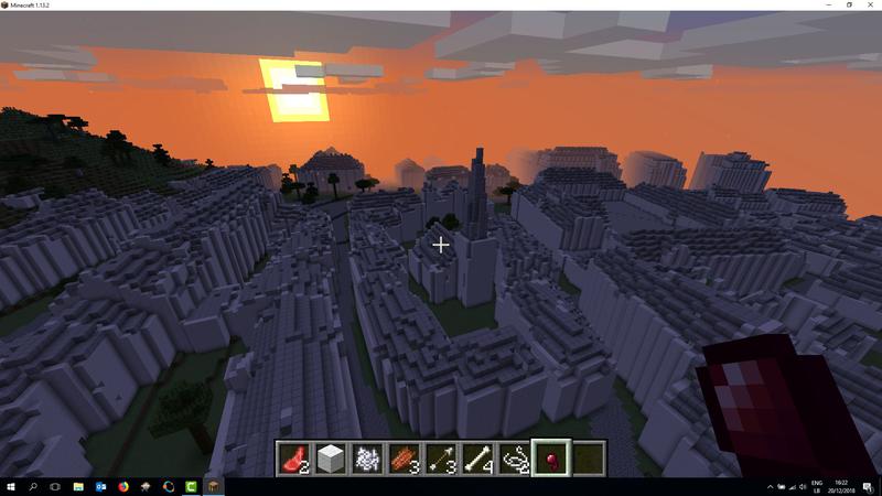
Hackaton Game of code application.Find the perfect location for living in Luxembourg.A dashboard providing information on points of interest with support for custom filtering. https://github.com/kallikakis/hackathon -
Carte interactive des vélohs disponibles en temps réel
A l'aide de l'API du géoportail et des données fournies par JCDecaux, une carte interactive de la disponibilité des véloh dans la Ville de Luxembourg a été créée par Tom Wantzenrieder, à l'époque stagiaire au sein de l'équipe du Géoportail. -
[Stops] find stations around GPS coordinates
Get bus & train stops by Mobiliteit based on gps coordinated and a radius in geojson. Documentation: https://docs.api.tfl.lu/v1/en/RESTAPIs/StopPoint/around.html Access the API: https://api.tfl.lu/v1/StopPoint/around/:longitude/:latitude/:radius Here's an example: { "type":… -
Héichwaasser App
Consultez le niveau d'eau des rivières luxembourgeoises directement et confortablement depuis votre appareil iOS. Carte avec toutes les stations disponibles Le niveau actuel est actualisé toutes les 15 minutes Visualisation de l'évolution des niveaux d'eau à l'aide d'un graphique Tableau avec… -
ECO MOB
The aims of POC is to introduce our new concept of car sharing in Luxembourg.This application allows people to share their car without asking them to plan their trip. Indeed, it will find match among the different users of the application and propose to drivers that on their way to stop at a… -
[Departures] get departures from a single stop
Get departures from a bus or train stop. Documentation: https://docs.api.tfl.lu/v1/en/RESTAPIs/StopPoint/Departures/ Access the API: https://api.tfl.lu/v1/StopPoint/Departures/:stationId Here's an example: [{ "id": "1|5232|4|82|14022017", "type": "bus", "trainId": null, "line": "13", "number":… -
[Weather] get current weather situation
Get current weather situation from Findel. Documentation: https://docs.api.tfl.lu/v1/en/RESTAPIs/Weather/ Access the API: https://api.tfl.lu/v1/Weather Here's an example: { "coord": { "lat": 49.627688, "lon": 6.223234 }, "weather": [{ "id": null, "main": null, "description": "Nuageux", "icon":… -
Reprojection des données geojson de la Ville de Luxembourg en WGS84
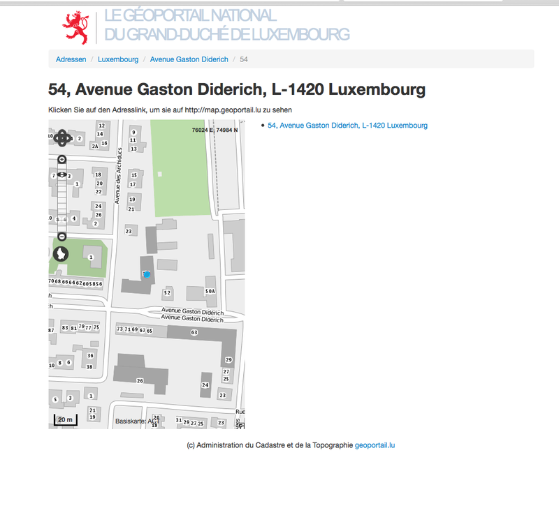
Il s'agit d'un webservice qui permet de reprojeter des données geojson LUREF en WGS84, notamment celles fournies par la Ville de Luxembourg Code source: https://github.com/jaykayone/geojson_reprojector Image docker: https://hub.docker.com/r/jaykayone/geojson_reprojector/ -
LuxDepart
Here is a small Android app that I have created. It uses the departures API from the "Verkéiersverbond" to show the next departures of a specific station. You could load stations around you by GPS and save your favorite stations to your favorite list. The app is published in the Google Play Store… -
[Journey planner] get journey from A to B
Get journey from A to B. Data is generated by OpenOV Documentation: https://docs.api.tfl.lu/v1/en/RESTAPIs/Journey/planner.html Access the API: https://api.tfl.lu/v1/Journey/{from}/to/{to} Here's an example: { "error": "null", "requestParameters": { "time": "14:07:40", "arriveBy": true,… -
Transitfeeds
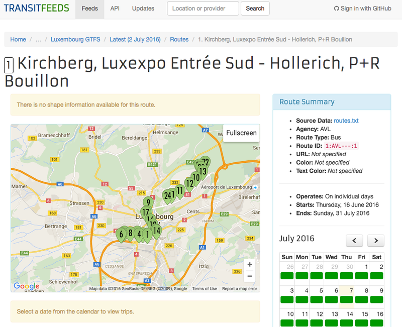
Transitfeeds enables the visualisation and exploration of the GTFS feed for Luxembourg. -
[Stops] get all stops
The entire list of bus & train stops by Mobiliteit reformatted in geojson. Documentation: https://docs.api.tfl.lu/v1/en/RESTAPIs/StopPoint/ Access the API: https://api.tfl.lu/v1/StopPoint Here's an example: { "type": "FeatureCollection", "features": [ { "type": "Feature", "geometry": { "type":…