INSPIRE - Annex II Theme Orthoimagery - OrthoimageCoverage 2020 Infrared
Par Administration du cadastre et de la topographie
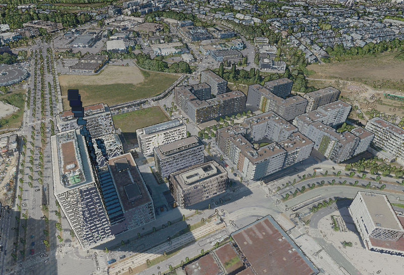
This layer contains the official infrared orthophoto (infrared, red, green) covering the national territory of Luxembourg. The surveying flights took place on July 30 and 31, August 5, 6, and 7 and September 13, 14, 15 and 19, 2020, with a sun position of > 35°. The ground sampling distance is <…
Qualité des métadonnées :
Description des données renseignée
Documentation des fichiers manquante
Licence renseignée
Fréquence de mise à jour non renseignée
Formats de fichiers standards
Couverture temporelle non renseignée
Couverture spatiale renseignée
Tous les fichiers sont disponibles
Mis à jour il y a 5 jours


