INSPIRE - Annex I Theme Transport Networks - Tramway stations
Par Géoportail
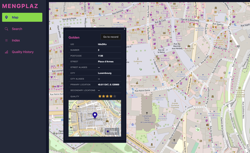
The dataset represents the tramway transport stations as coordinated by the Verkéiersverbond. The constantly updated data can be viewed on the geoportal (http://g-o.lu/3/jOPk). Description copied from catalog.inspire.geoportail.lu.
Qualité des métadonnées :
Description des données renseignée
Documentation des fichiers manquante
Licence renseignée
Fréquence de mise à jour non renseignée
Formats de fichiers standards
Couverture temporelle non renseignée
Couverture spatiale renseignée
Mis à jour il y a 2 semaines