INSPIRE - Annex II Theme Orthoimagery - OrthoimageCoverage 2023 Infrared
Par Géoportail
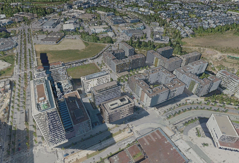
This layer contains the official infrared orthophoto (infrared, red, green) resulting from the 2023 aerial survey with a ground resolution of <= 10 cm per pixel (GSD). The absolute planimetric accuracy of the orthophoto can be indicated with a Root Mean Square Error (RMSE) <= 20 cm. The…
Qualité des métadonnées :
Description des données renseignée
Documentation des fichiers manquante
Licence renseignée
Fréquence de mise à jour non renseignée
Formats de fichiers standards
Couverture temporelle non renseignée
Couverture spatiale renseignée
Mis à jour le 12 juin 2026