INSPIRE - Annex II Theme Orthoimagery - OrthoimageCoverage 2017
Par Administration du cadastre et de la topographie
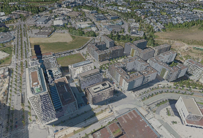
This layer contains the official orthophotos covering the national territory of Luxembourg. The 4 surveying flights took place on 14, 19 and 20 June 2017, close to the solstice, with a sun position of > 35°. The ground sampling distance is <0,20m. The perspective displacement is in general <25%,…
Qualité des métadonnées :
Description des données renseignée
Documentation des fichiers manquante
Licence renseignée
Fréquence de mise à jour non renseignée
Formats de fichiers standards
Couverture temporelle non renseignée
Couverture spatiale renseignée
Tous les fichiers sont disponibles
Mis à jour il y a 2 semaines


