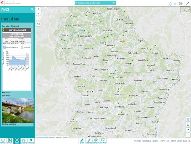
Inondations.lu widget shown in geoportail
Visualisation
Publié le 24 juin 2022 par Administration de la gestion de l'eau

Ceci est une expérience dégradée de Portail Open Data. Veuillez activer JavaScript et utiliser un navigateur à jour.

Le projet de loi portant création d’une Administration de la gestion de l’eau a été voté à la Chambre des députés le 13 mai 2004.
Le Gouvernement a opté en août 1999:
"pour une politique concentrée en matière de gestion de l'eau qui aura comme finalité le regroupement des différents aspects ayant trait à l'économie de l'eau. Ainsi les différentes administration et divisions de services qui, à l'heure actuelle, ont des compétences en matière de protection et de gestion de l'eau seront fusionnées dans une même entité afin de créer l'instrument nécessaire à une véritable gestion intégrée de l'eau, instrument qui relèvera de la compétence du Ministre de l'Intérieur" (Extrait de l'accord de coalition, août 1999).
Ainsi l'Administration de la gestion de l'eau a été créée à partir du regroupement successif des services qui avaient des compétences en matière de l'eau incorporés antérieurement dans les administrations des services techniques de l'agriculture, de l'environnement, des eaux et forêts et des ponts et chaussées.

Visualisation
Publié le 24 juin 2022 par Administration de la gestion de l'eau


11 janvier 2026
571dcf8d32cc221e8ffea95a
25 avril 2016