

Bornes de chargement publiques pour voitures électriques
Par Chargy
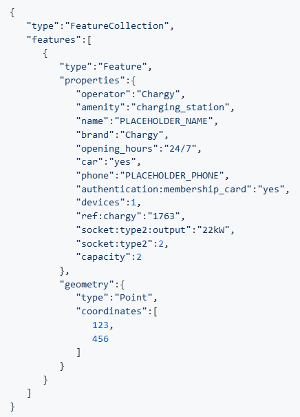
Liste des bornes de chargement publiques avec prises libres.
Qualité des métadonnées :
Description des données non renseignée
Fichiers documentés
Licence renseignée
Fréquence de mise à jour respectée
Formats de fichiers standards
Couverture temporelle non renseignée
Couverture spatiale renseignée
Mis à jour le 5 mars 2018