

Bornes de chargement publiques pour voitures électriques
From Chargy
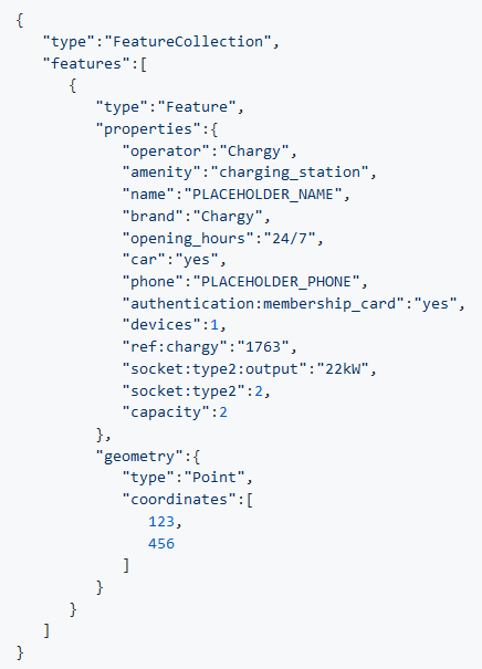
Liste des bornes de chargement publiques avec prises libres.
Metadata quality:
Data description empty
Files documented
License filled
Update frequency followed
File formats are open
Temporal coverage not set
Spatial coverage filled
Updated on March 5, 2018