Indexation hiérarchique des adresses
Visualization
Published on July 25, 2016 by Administration du cadastre et de la topographie

This is a degraded experience of Portail Open Data. Please enable JavaScript and use an up to date browser.
Search among 192 reuses on Portail Open Data
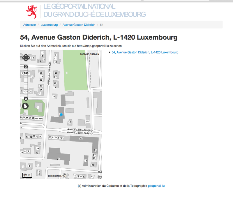
Visualization
Published on July 25, 2016 by Administration du cadastre et de la topographie
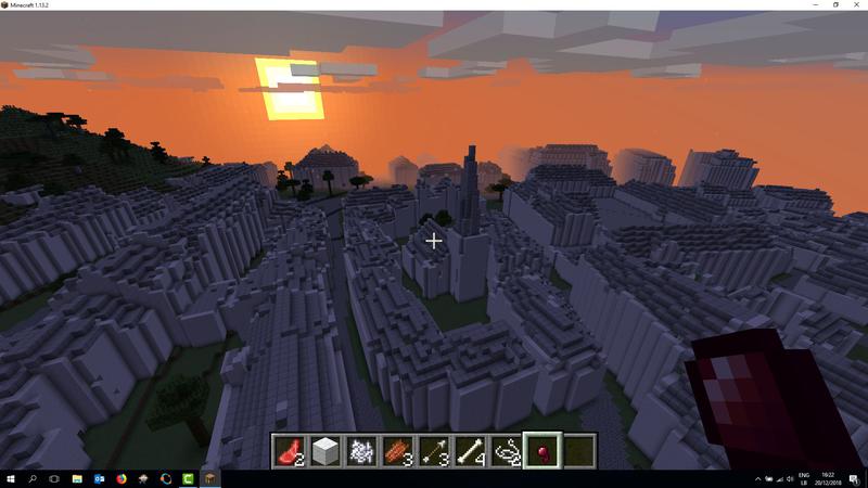
Visualization
Published on December 20, 2018 by Géoportail

API
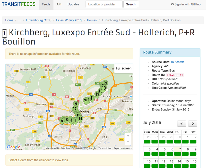
Published on July 11, 2016 by Guillaume Rischard

Paper
Published on January 23, 2026 by Musée national d'histoire naturelle Luxembourg


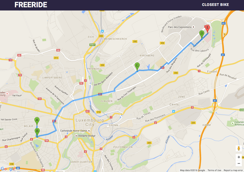
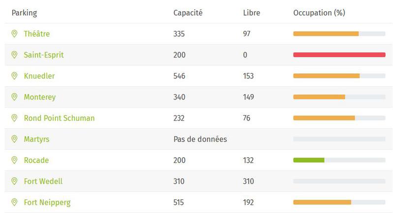
Visualization
Published on August 11, 2025 by Luxembourg Emergency Communications Intervention Team


Application
Published on August 10, 2025 by Luxembourg Amateur Radio Union

Application
Published on February 14, 2024 by Open Data Lëtzebuerg

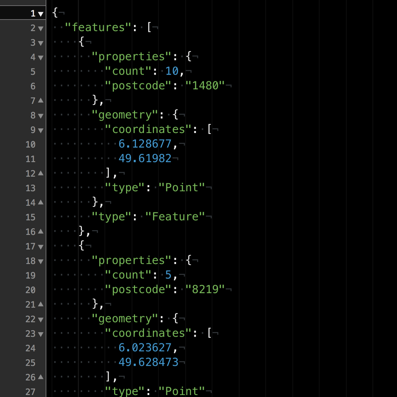
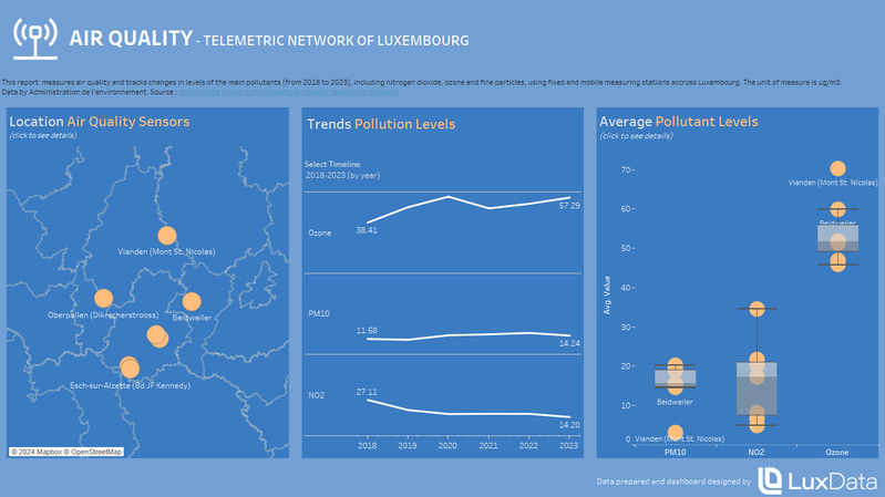
Visualization
Published on February 9, 2024 by Open Data Lëtzebuerg
Post
Published on January 26, 2024 by Service information et presse du gouvernement
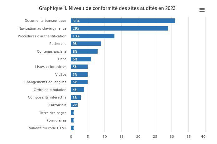
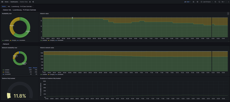
Visualization
Published on January 23, 2024 by STATEC Institut national de la statistique et des études économiques du Grand-Duché de Luxembourg

News Article
Published on January 23, 2024 by Open Data Lëtzebuerg

News Article
Published on January 23, 2024 by Open Data Lëtzebuerg