


Niveau d'eau
Description
Le niveau d'eau, mesuré sur une station limnimétrique correspond à une hauteur d'eau par rapport à un zéro d'une échelle limnimétrique. Le zéro de l'échelle limnimétrique doit être placé en-dessous des plus basses eaux possibles.
Link to Geocatalog: https://geocatalogue.geoportail.lu/geonetwork/srv/fre/catalog.search#/metadata/124abb10-1d87-4449-912b-06fbf307a95f
WMS link: https://wms.geoportail.lu/public_map_layers/service layer id: 655
Update (09/2026)
Les niveaux d'eau mesurés sont désormais disponibles qu'en heure locale, donc l'heure correcte en hiver et en été. Veuillez à faire les modifications nécessaires si vous utilisez encore les niveaux d'eau mesurés en UTC+1.
Les liens vers les données ont changé aussi, veuillez consulter les informations si dessous pour avoir les bons liens.
Producer
Latest update
October 11, 2026
License
Metadata quality:
Data description filled
Files documented
License filled
Update frequency not followed
File formats are open
Temporal coverage not set
Spatial coverage filled
Metadata quality
Update frequency not followed
Temporal coverage not set
7 Reuses
Luxempoche iOS app: Real-time transit, parking,…
Application
Published on March 14, 2026 by Mathieu François

LEMCIT Software Suite
Visualization
Published on August 11, 2025 by Luxembourg Emergency Communications Intervention Team

Inondations.lu widget shown in geoportail
Visualization
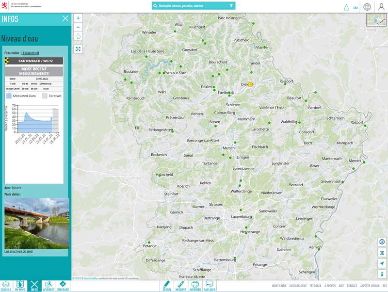
Published on June 24, 2022 by Administration de la gestion de l'eau
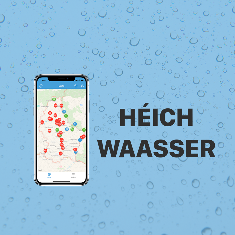

There are no community resources for this dataset yet.
Information
Tags
License
ID
59c220a4111e9b1de61d8864
Temporality
Creation
September 20, 2017
Frequency
Daily
Latest update
October 11, 2026
Spatial coverage
Territorial coverage
Luxembourg
Territorial coverage granularity
Luxembourg