Air Quality - Geostatistical interpolation

Mis à jour le 7 avril 2025 — Creative Commons Zero (CC0)

Administration de l'environnement

L’Administration de l’environnement est au service de la société pour assurer un niveau élevé de protection de l’environnement et de qualité de vie des personnes dans leur environnement. Elle apporte son soutien à la prise de décision politique et veille à l’application de la législation…

73 jeux de données

Informations

Licence
Creative Commons Zero (CC0)
ID
5f8993ccfbeeaca1a6c49b00

Temporalité

Fréquence
Quotidienne
Date de création
16 octobre 2020
Dernière mise à jour de ressource
7 avril 2025

Intégrer sur votre site

URL stable

Description

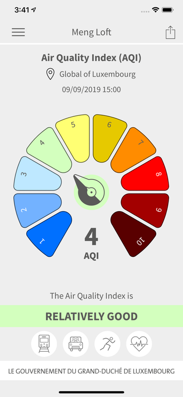
The geostatistical interpolation map shows in real time the most likely modelled distribution of the pollutant O3, NO2, PM10, or PM2.5 between the various fixed measurement points that make up the telemetric network in Luxembourg, at a spatial resolution of 1 km2.

Fichiers 21

Fichier principal

lux-data-pm25-year-20191231-2300.png.asc.json

Mis à jour le 3 décembre 2020 — json (163.2Ko) — 5 téléchargements

Ressources communautaires 0

Vous avez construit une base de données plus complète que celles présentées ici ? C'est le moment de la partager !

Aucun résultat pour votre recherche.

Explorez les réutilisations de ce jeu de données.

Avez-vous utilisé ces données ? Référencez votre travail et augmentez votre visibilité.

Discussions 2

Discussion entre l'organisation et la communauté à propos de ce jeu de données.

  • Data dictionary

    Dzidas Mart
    8 novembre 2023

    Hello, Could you share some data dictionary or a description about the data. I'm trying to understand the meaning of the following fields: indexRaw Index value Additionally, I found many duplicates - shall I implement my own data clean up function, right?

    Claudine Schiltz
    13 novembre 2023

    Hello, The field "value" indicates the concentration in μg/m3 determined in each grid cell of 1 km2 covering Luxembourg. This value is then transformed into an "index" in order to express if the air quality is good, moderate, bad, .... You can find the definition of the 10 classes for the index for the different pollutants on our webpage https://environnement.public.lu/fr/loft/air/mesures/modelisations.html (on the right side of the maps). Normally, there should be no duplicates. Every grid cell of 1 km2 has its own coordinates an its own value/index. For the moment, the air quality is (very) good, so that most of the time the real time index is equal to 1 or 2 for the different grid cells. Best regards, Claudine Schiltz

    Dzidas Mart
    13 novembre 2023

    Thank you, it helped me better understand the data. Dzidas

    Dzidas Mart
    14 novembre 2023

    Hello, for duplicates, you can check 25/04/2022 10:00 and there many. I'm averaging on my side, so not a big issue, but maybe it is worth of checking on your side.

    Dzidas Mart
    14 novembre 2023

    Forgot to share the file I found the issue: https://data.public.lu/fr/datasets/r/3c1e54f9-294c-40ad-a5ba-ed97baacfacd Additionally, I found that there very few values at midnight, 00:00 or 24:00. Is it intentionally and what is the reason for that?

    Claudine Schiltz
    15 novembre 2023

    Hello, Thank you for the file. I will have a look at these duplicates. Most of our telemetric measuring instruments are automatically controlled during the night. So, during this hour, there is no data which can be interpolated. This should be the reason why there are few values at midnight. Best regards. Claudine Schiltz

    Dzidas Mart
    17 novembre 2023

    understood, thank you for your answers.

  • Discussion fermée

    Dataset Complet

    La discussion a été close par Sophie Thinnes le 26 juillet 2022