INSPIRE - Annex II Theme Orthoimagery - OrthoimageCoverage 2021 Infrared
From Géoportail
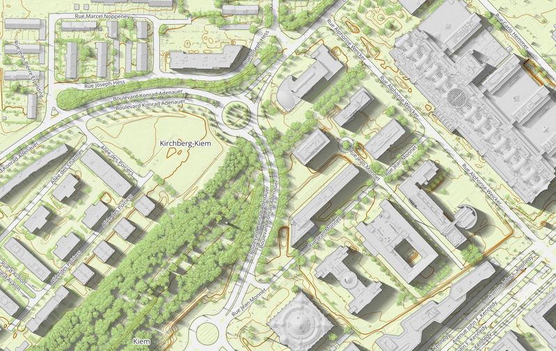
This layer contains the official infrared orthophoto (infrared, red, green) from the 2021 surveying flights with a ground sampling distance of <= 10 cm per pixel (GSD). The absolute planimetric accuracy of the orthophoto can be given with a mean squared error MSE <= 20 cm. The perspective…
Metadata quality:
Data description filled
Files documentation missing
License filled
Update frequency not set
File formats are open
Temporal coverage not set
Spatial coverage filled
Updated on June 12, 2026