INSPIRE - Annex III Theme Land Use - Vineyards 2020
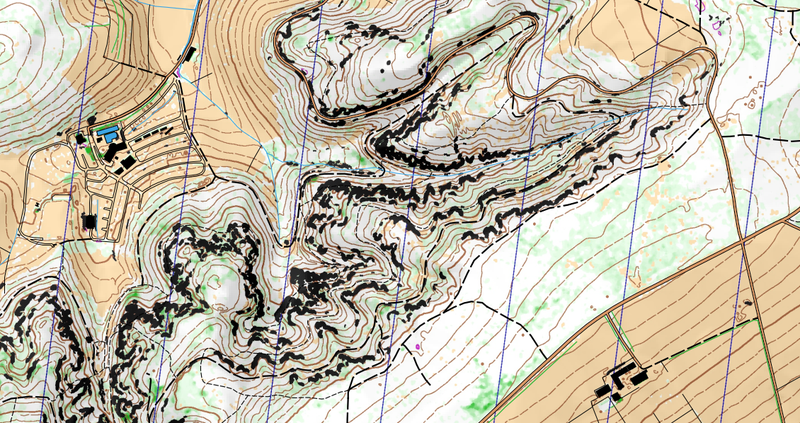
Vineyards along the Mosel in Luxemburg. Description copied from catalog.inspire.geoportail.lu.
Metadata quality:
Data description filled
Files documentation missing
License filled
Update frequency not set
File formats are open
Temporal coverage not set
Spatial coverage filled
All files are available
Updated 4 days ago


