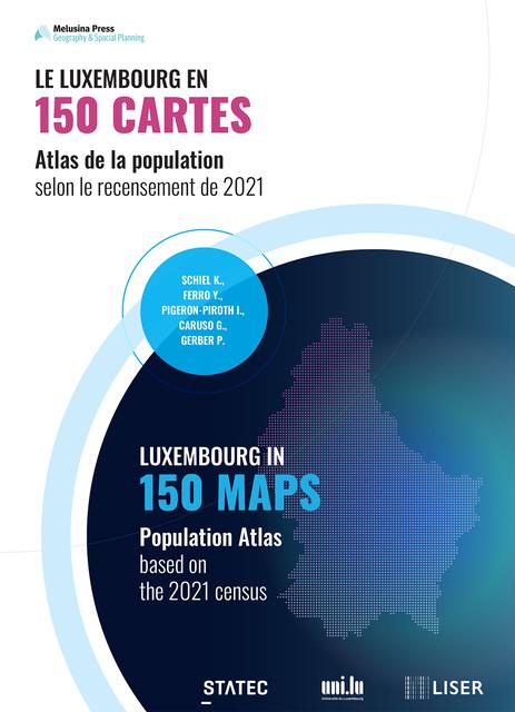
Le Luxembourg en 150 cartes

Description

À travers 150 cartes issues du recensement de 2021, cet atlas offre un regard clair et accessible sur les réalités démographiques du pays : croissance et densité, urbanisation, logements, familles, âges et vieillissement, origines migratoires, langues, emploi, professions, mobilités quotidiennes, transports et niveaux d’éducation. En passant de la commune à la cellule d’1 km² et en mobilisant une grande variété de représentations cartographiques, l’ouvrage permet à chacun de situer son expérience personnelle dans un paysage plus large et de mieux comprendre les transformations du territoire.

Through 150 maps from the 2021 census, this atlas offers a clear and accessible overview of the country's demographic realities: growth and density, urbanisation, housing, families, age and ageing, migration origins, languages, employment, occupations, daily mobility, transport and education levels. By moving from the municipality to the 1 km² cell and using a wide variety of cartographic representations, the book allows everyone to situate their personal experience in a broader landscape and to better understand the transformations of the territory.

Topic

Statistics

Type

Paper

Tags

  • cartes

  • population

  • recensement

  • recensement-general

Creation date

July 7, 2026

Last update

July 7, 2026

9 used datasets

Discussions

There are no discussions for this reuse yet.

4 reuses from the same creator