OI.Orthoimagery.gml
Updated on July 18, 2018 — gml (6.9Ko) — 18 downloads
- Type
- Main file
- MIME Type
- application/octet-stream
- sha1
- b8e897ae6907c89b35bd47860fff6d46dd10f20c
- Created on
- July 18, 2018
- Modified on
- July 18, 2018
- Published on
- July 18, 2018

Updated on September 1, 2021 — Creative Commons Zero (CC0)

Les missions principales de l'administration du cadastre et de la topographie (ACT) peuvent être divisées en trois grands volets. la création, la gestion, la mise à jour et la diffusion des documentations foncières et cartographiques officielles au Grand-Duché de Luxembourg. la mensuration…
129 datasets
3 reuses
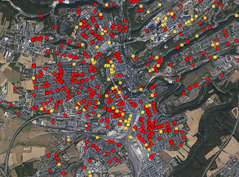
Inspire version of the 2017 Orthophoto of the ACT.
This image has been reprojected to EPSG:3035
The pixel size is 20cm.
Data has been recorded around June 22nd 2017 for the entire country if Luxembourg.
Description copied from here
Updated on July 18, 2018 — gml (6.9Ko) — 18 downloads
Updated on June 22, 2018 — jp2 — 1 downloads
Orthoimagery from 2017 as Jpeg2000
You have built a more comprehensive database than those presented here? This is the time to share it!
No resources match your search.
Explore the reuses of this dataset.
Did you use this data ? Reference your work and increase your visibility.
Application
Published on May 27, 2022 by Zentrum fir Urban Gerechtegkeet
Discussion between the organization and the community about this dataset.