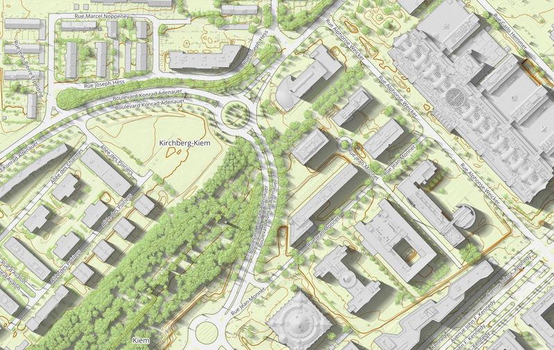
Carte des communes et sections cadastrales
From Administration du cadastre et de la topographie
La carte fournie aux formats TIFF et PDF à l'échelle 1:100000 (DIN A0), représente les limites administratives des cantons, communes et sections cadastrales.
Metadata quality:
Data description filled
Files documented
License filled
Update frequency not followed
File formats are open
Temporal coverage not set
Spatial coverage not set
Updated on September 1, 2023


