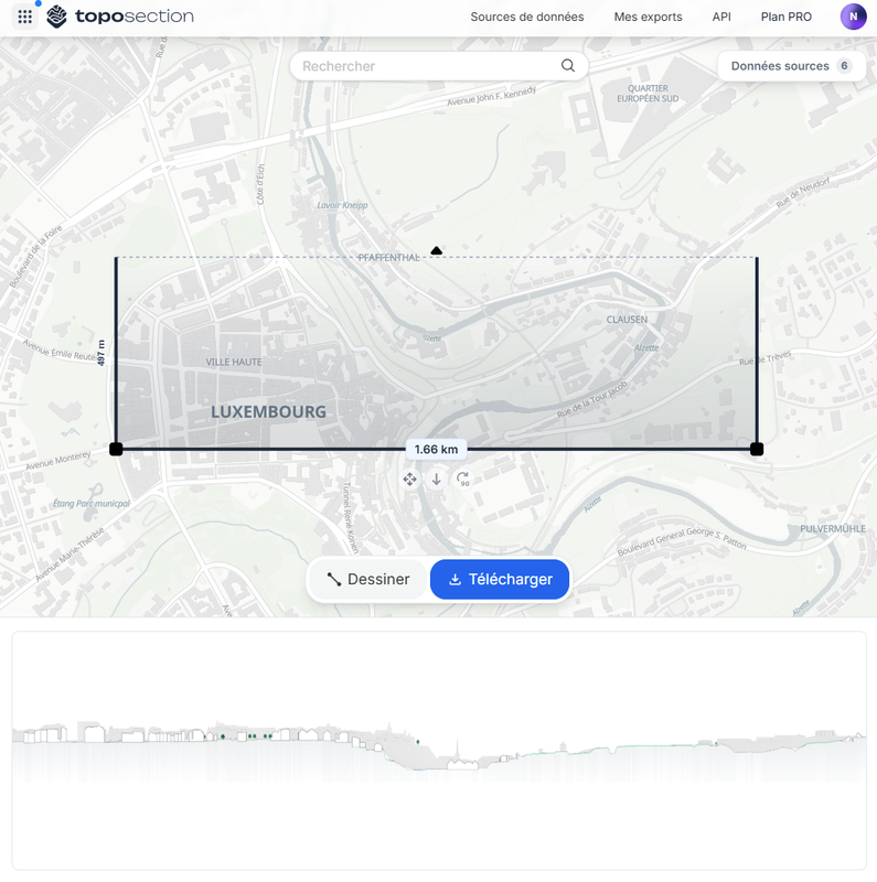
TopoSection.com - Online Landscape and Urban Section…
Application
Published on January 3, 2026 by TopoExport (CAD & BIM)

This is a degraded experience of Portail Open Data. Please enable JavaScript and use an up to date browser.
Base de données cartographique BD-L-CARTO250
Base de données cartographique à l'échelle 1:250.000, disponible au format Shapefile et Geodatabase ESRI.
Date de réalisation : 2010
Datum-Projection : LUREF / EPSG2169
Sans indication de relief (pas d'estompage, sans courbes de niveau )
Etendue géographique : Territoire national du Grand-Duché de Luxembourg
April 5, 2016
Data description filled
Files documented
License filled
Update frequency not followed
File formats are open
Temporal coverage not set
Spatial coverage filled
Update frequency not followed
Temporal coverage not set
Application
Published on January 3, 2026 by TopoExport (CAD & BIM)
There are no discussions for this dataset yet.
There are no community resources for this dataset yet.
56fd1e40855e9b6a1088f556
March 31, 2016
Quinquennial
April 5, 2016
Other