
InfoBib - Library Network Information (bnl-infobib) bnl-infobib
From Bibliothèque nationale du Luxembourg
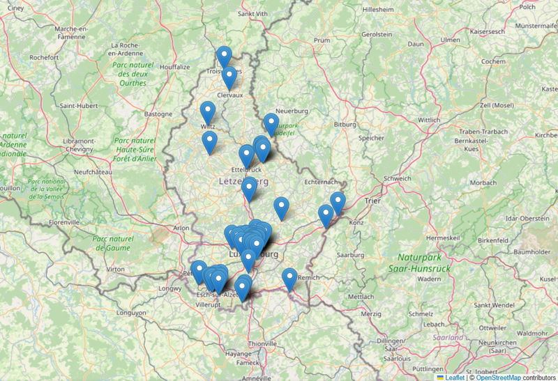
English Version The BnL is the coordinator of the bibnet.lu national network of Luxembourgish libraries. The InfoBib API offers information about each library in the network: addresses and opening times, contact information, access conditions etc. Please, visit http://data.bnl.lu/apis/infobib/ to…
Metadata quality:
Data description filled
Files documented
License filled
Update frequency followed
File formats are open
Temporal coverage not set
Spatial coverage filled
Updated on August 12, 2022
License Not Specified