INSPIRE - Annex II Theme Land Cover - Land Parcel Identification System (LPIS) - Ecological Focus Areas (EFA) - Forest edges
From Géoportail
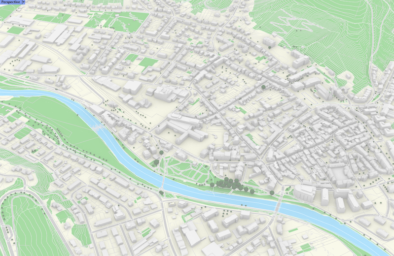
6-meter strips in the LPIS reference parcels along forest edges. The forest edges layer is one of the Ecological Focus Areas (EFA) layers with serves to attribute forest edges to land parcels declared in the geospatial aid application GSAA. These areas are taken into account in the framework of…
Metadata quality:
Data description filled
Files documentation missing
License filled
Update frequency not set
File formats are open
Temporal coverage not set
Spatial coverage filled
Updated on June 19, 2026